Technology
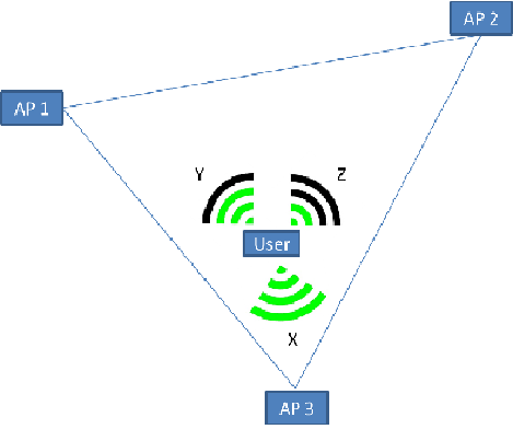
It was decided that the most feasible solution for indoor navigation could be accomplished using the Android smartphone platform. The particular accessible smartphones available both featured Wi-Fi capabilities and the processing power to deliver accurate results. The smartphone will scan all access points that in range and determine the signal strength in dBm (or dBmW). The strength measurements are translated into a rating from one to twenty, and the access point’s MAC address is compared against a database of known access point locations. All of the quantified location coordinates are uploaded to a separate database and averaging is applied to gain a location of the phone. The more available access points, the more accurate the location reading will be. The calculated position will be displayed on a downloaded map on the smartphone from the MSU mobile server. The map coupled with the calculated location will allow the application to give directions to a desired location.